
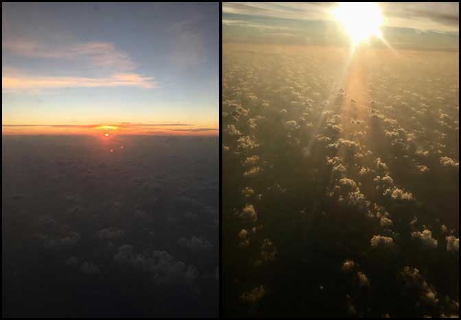
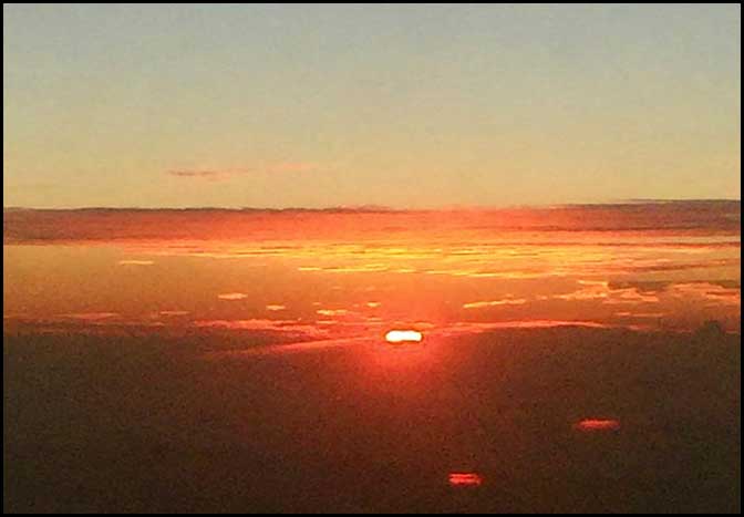
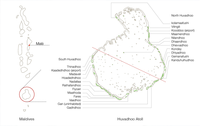
6th February. After the half-day conference we took the evening flight from Male to South Huvadhoo atoll airport. View from the aircraft, the flight took about 1hour 10 minutes to the Kooddoo airport on the southern rim on Huvadhoo, which is divided into North and South Huvahdoo for administrative reasons. The atoll is the largest in the Maldives and is a gourd shaped with numerous islands spread around the outer rim of the atoll. The airport is in South Huvadhoo Atoll on the small, uninhabited Kaadedhdhoo Island. The equator is just a little below the southernmost rim of Huvadhoo Atoll. See map of Huvadhoo Atoll, Maldives @ Abel
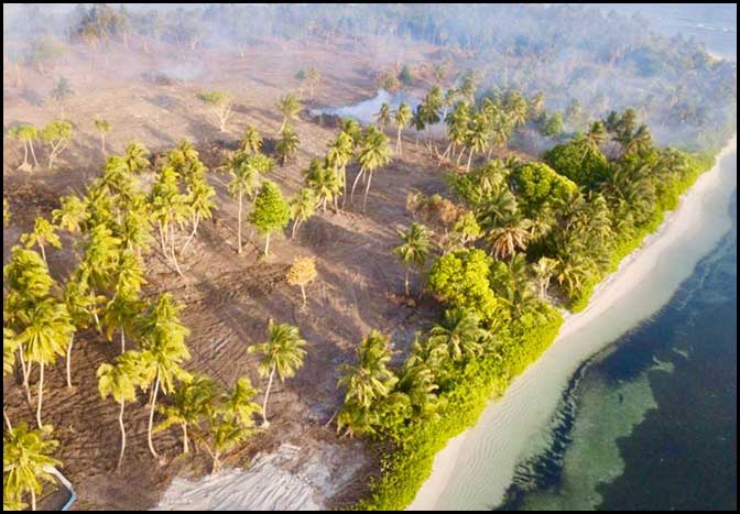
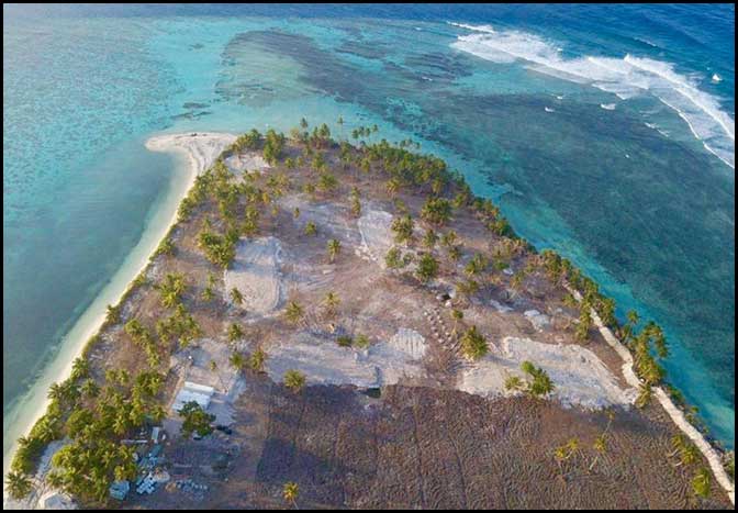
We then took a very short speed boat ride to Thinadhoo island from where we began our 7 day research expedition to 23 inhabited and uninhabited islands of both south and north atoll. We spent our first night in Thinadoo, two nights in Fioari, one night in Vadhoo, and one night in Gadhdhoo all along the rim of the south atoll, and every morning from each of these islands we traveled by speedboat to various islands on our list - Madeveli, Hoadedhdhoo, Nadalla, Rathafandhoo, Maathoda, Fares and Gan. This covered the South Huvadhoo atoll.
Then the team set of by speedboat to North Huvadhoo Atoll to Nilandhoo that was our base for the next three nights. From here we visited Kolamaafushi, Vilingili, Maamendhoo, Dhaandhoo, Dhevvadhoo (which in in the central part of the atoll), Kondey, Dhiyadhoo, Gemannafushi and Kanduhulhudhoo. On our last day the 13th February after a traditional breakfast we boarded the speedboat to the airport on Kooddoo Island from where we boarded a plane back to Male. The research team bid adieu and dispersed from there to their homes.